Queen Charlotte Islands, British Columbia 8-15 August 1999
The Queen Charlotte Islands are mountainous, with a spectacular
coast, including long beaches. The rainy islands and surrounding ocean
support abundant and varied wildlife and vegetation. The economy is dependent
on (eco)tourism, logging, and fishing, which are somewhat in conflict.
There is a strong Native American presence, and a large national park.
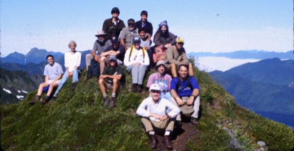
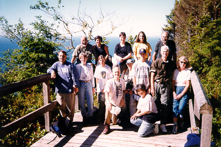
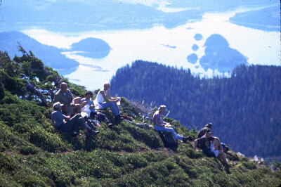
The trip included hiking in the mountains and along the coast, study of
geology and ecology, and meetings with the Haida people, including paddling
a 50-foot cedar canoe.
Queen Charlotte Islands
by Fern Henderson
Geography:
The Queen Charlotte Islands are the visible tops of the submerging Coast
Range Mountains. . . 720 km (450 mi.) north of Vancouver and 128 km (80
mi.) west of Prince Rupert. . . north to south, approximately 240 km (150
mi.) and east to west, a maximum of 64 km (40 mi.). The western topography
is 925 m (3000 ft.) mountains while the eastern is plateau-like. The walking
is mostly flat. . . 0 to 95 m (300 ft.) through open muskeg, sheltered
tree slopes and exposed sand dune beach. The sea and forest dominate,
subtly enriching our lives. The latitude being 52 degrees north, we have
18 to 20 hours of daylight in May, June and July. Evening hiking is peace
par excellence.
Climate:
It is variable and unpredictable both long range and within a 24-hour
day. August has least precipitation, most hours of sunshine and highest
temperatures. . . though May is a close second. "Sample" weather, i.e.,
a bit of sun, a bit of rain, greyness and wind can happen within minutes
even in July. Rainbow time!!! The temperature during the whole year varies
only 20 degrees so there are no extremes. Wind is usual: from the southern
sector storms. . . from the northern, clear skies. Rainfall on the east
coast compares favourably with Vancouver, but we have fewer hours of sunshine
and grey skies predominate.
History:
The Haida Indians have been here approximately 8000 years; the white traders,
200 years; the white settlers, 100 years. The Islanders have a rich heritage
from our native population now centered in Skidegate and Massett. It was
first shared with the traders in return for iron, guns, alcohol and disease
and then the missionaries. Following the mainland goldrush many white
settlers appeared. 1908-1915 was a time of surveys, pre-empting, land
drainage, cabin building and small community enterprise. But agriculture
never prospered then and seemed dead until the late '60s since when a
new breed of pioneers are buying the old homesteads. The first selective
logging for airplane spruce was done during the First World War; now clearcut
logging is the No. 1 industry. Fishing is a close second with the deep-freezers
of most Islanders well filled.
Flora and Fauna:
The Islands have at least 300 varieties of moss, 150 varieties of mushrooms,
98 percent of the varieties of B.C. sea birds. We have no fir trees, but
spruce, pine and hemlock re-seed themselves. Because of its slow growth
and negative natural regeneration, the cedar is becoming more rare unless
replanted. The shore and forest flowers bring surprise and delight. There
are many eagles, deer, geese and agates; there are fewer beaver, martin,
black bear and bugs; there are no predators and no snakes. There is an
abundance of edible plants and sea food.
More Pictures: Coasts || Cultural || Mountains
 To Bob Carson's Homepage