|
|
|
|


Robert J. Carson, Phillips
Professor of Geology and Environmental Studies |
|
|
A.B., Cornell University, 1963 (senior thesis on Tolley's Cave, Rockbridge County, Virginia) M.S., Tulane University, 1967 (thesis on stratigraphy of Ordovician limestones, Virginia) Ph.D., University of Washington, 1970 (dissertation on Quaternary geology of Olympic Peninsula, Washington) |
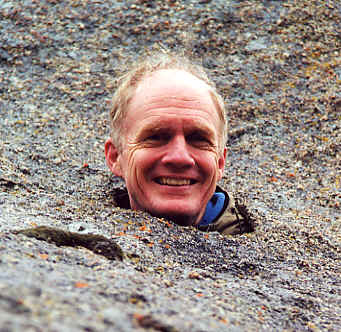
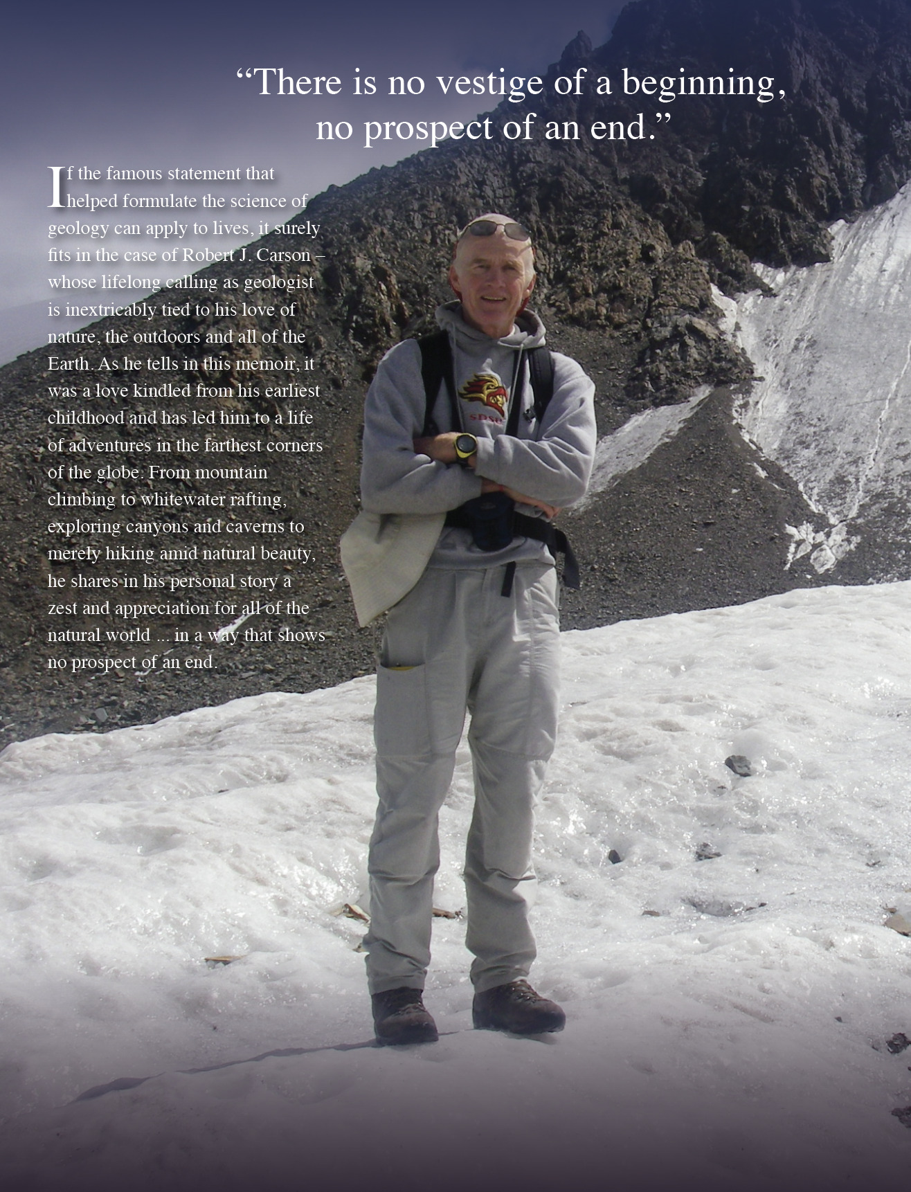
Bob Carson was born and raised in Lexington, Virginia. Mountaineering, whitewater boating, and spelunking in Virginia and during summers in New England sparked his interest in geology. His professional geologic career began with Texaco, exploring for petroleum in Louisiana and phosphate in Florida. He also worked as a geologist for the Washington Department of Ecology and the Washington Division of Geology and Earth Resources. Bob's teaching career began at North Carolina State University and then at the University of Oregon. He joined the faculty at Whitman College in 1975. He considers himself an environmental geologist and a Quaternary geologist. His advanced courses (geomorphology, glacial geology, climate change, and water resources) deal with late Cenozoic geologic history, surficial processes, landform evolution, and environmental problems. He has a half-time appointment in Whitman's environmental studies program, and is particularly interested in resources, pollution, forests, and the oceans. His passions include mountaineering, volcanoes, and whitewater. Bob has taught on the Semester-At-Sea program twice, and has directed foreign study programs in London, England, and in Asturias, Spain. Most of his research is on Quaternary geology in Washington, northeastern Oregon, northwestern Wyoming, and Mongolia. |
|
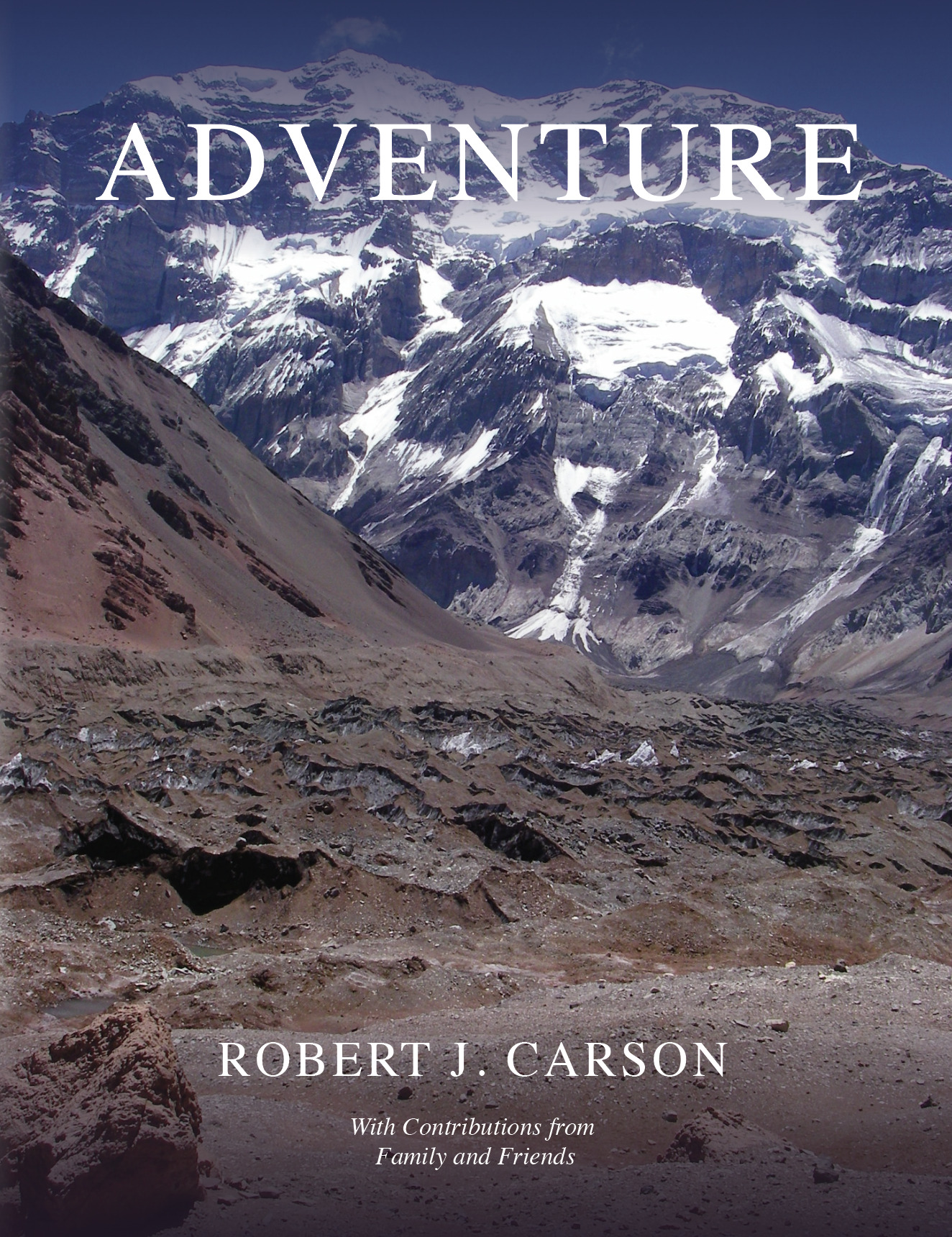
Carson, R. J., 2022, Adventure: Sand Point, Idaho, Keokee Books, 550 p. Carson, Bob, and Clare Carson, 2020, A natural history of Colonel Bob Wilderness, southwestern Olympic Peninsula: Douglasia, Journal of the Washington Native Plant Society, v. 44, no.1, p. 11-13. Carson, R. J., 2019, Extraordinary geologic diversity, in T. N. Parrie and J. A. Logan, eds., Voices of Yellowstone's capstone: A narrative atlas of the Absaroka-Beartooth Wilderness: Red Lodge, Montana, Absaroka-Beartooth Wilderness Foundation, p. 48-57.
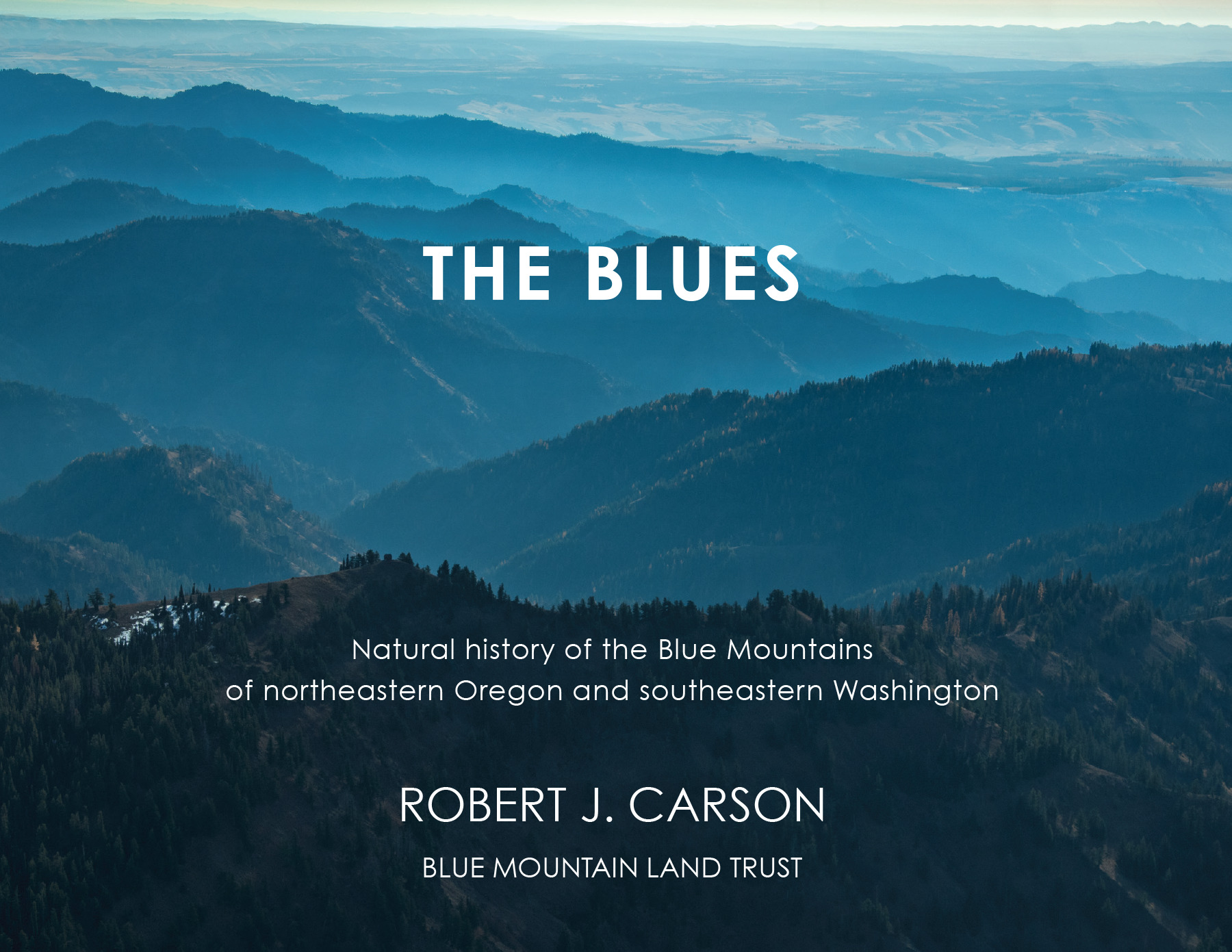
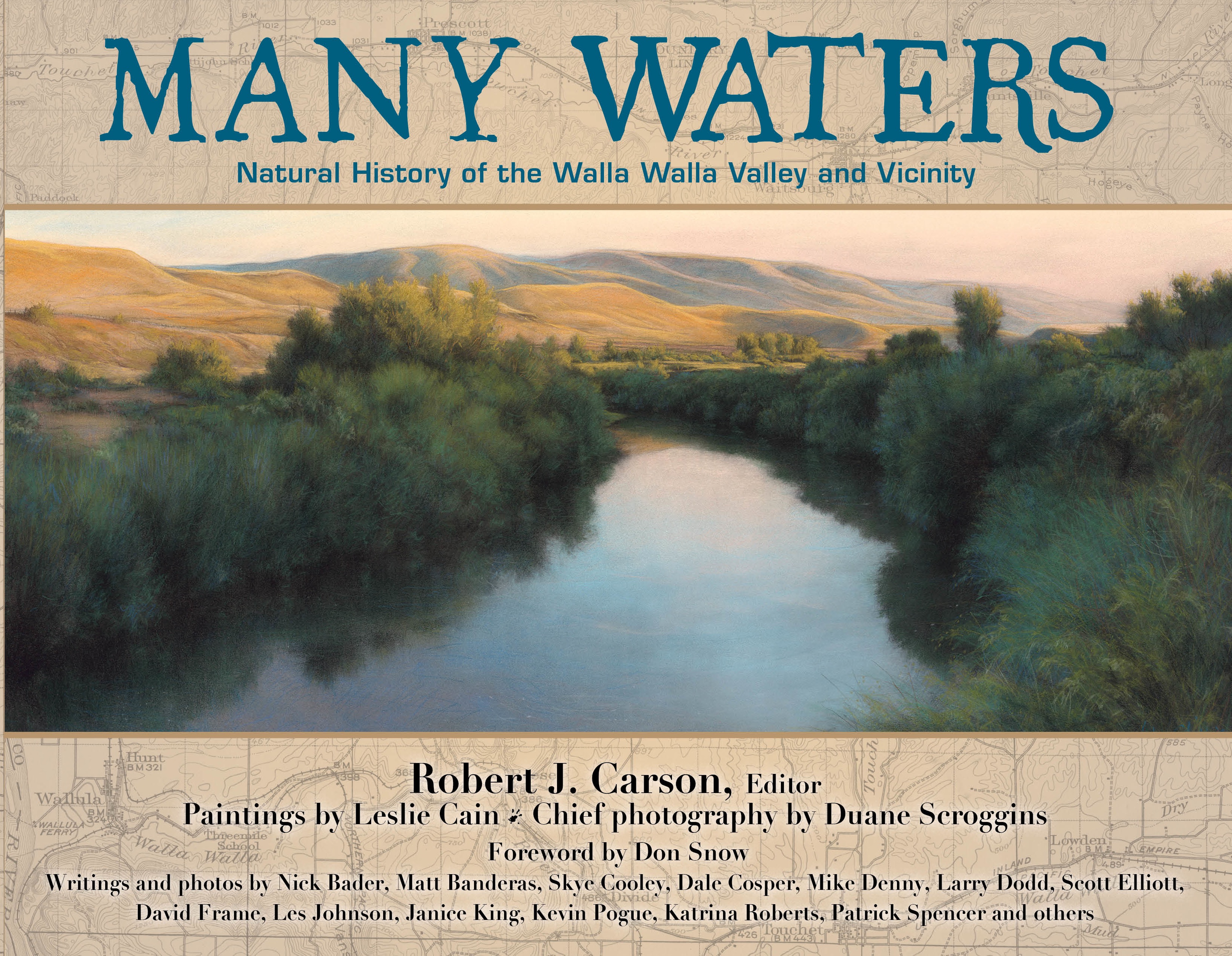
Carson, R. J., 2018, The Blues: Natural history of the Blue Mountains of northeastern Oregon and southeastern Washington: Sand Point, Idaho, Keokee Books, and Walla Walla, Washington, Blue Mountain Land Trust, 208 p. Retallack, G.J., D.G. Gavin, E.B. Davis, N.D. Sheldon, J.M. Erlandson, M.H. Reed, E.A. Bestland, J.J. Roering, R.J. Carson, and R.B. Mitchell, 2016, Oregon 2100: Predicted Climatic and Ecological Changes: University of Oregon Museum of Natural and Cultural History Bulletin no. 26, 21 p. Walker, R.T., K.W. Wegmann, A. Bayasgalan, R.J. Carson, J. Elliott, M. Fox, E. Nissen, and R.A. Sloan, 2015, The Egiin Davaa rupture, central Mongolia: a large-magnitude prehistoric normal faulting earthquake from a slowly deforming continental region, in Angela Landgraf, Seth Stein, and Esther Hintersbergen, eds., Seismicity, fault rupture and earthquake hazards in slowly deforming regions: Geological Society, London, Special Publications, v. 432. Axtell, Marin, Chelsea Cordell, Heidi Dobson, Bob Carson, and Mike Denny, 2015, Juniper Canyon, Wallula Gap: An “oasis in the desert”: Kalmiopsis (Journal of the Native Plant Society of Oregon), v.21, p. 1-16. Carson, R.J., ed., 2015, Many waters: Natural history of the Walla Walla Valley and vicinity: Sand Point, Idaho, Keokee Books, 224 p. Barnett, E.A., B.L. Sherrod, J.F. Hughes, H.M. Kelsey, J.L. Czajkowski, T.J. Walsh, T.A. Contreras, E.R. Schermer, and R.J. Carson, 2015, Paleoseismic evidence for late Holocene tectonic deformation along the Saddle Mountain fault zone, southeastern Olympic Peninsula, Washington, Bulletin of the Seismological Society of America, v. 105, no. 1, p. 38-71.
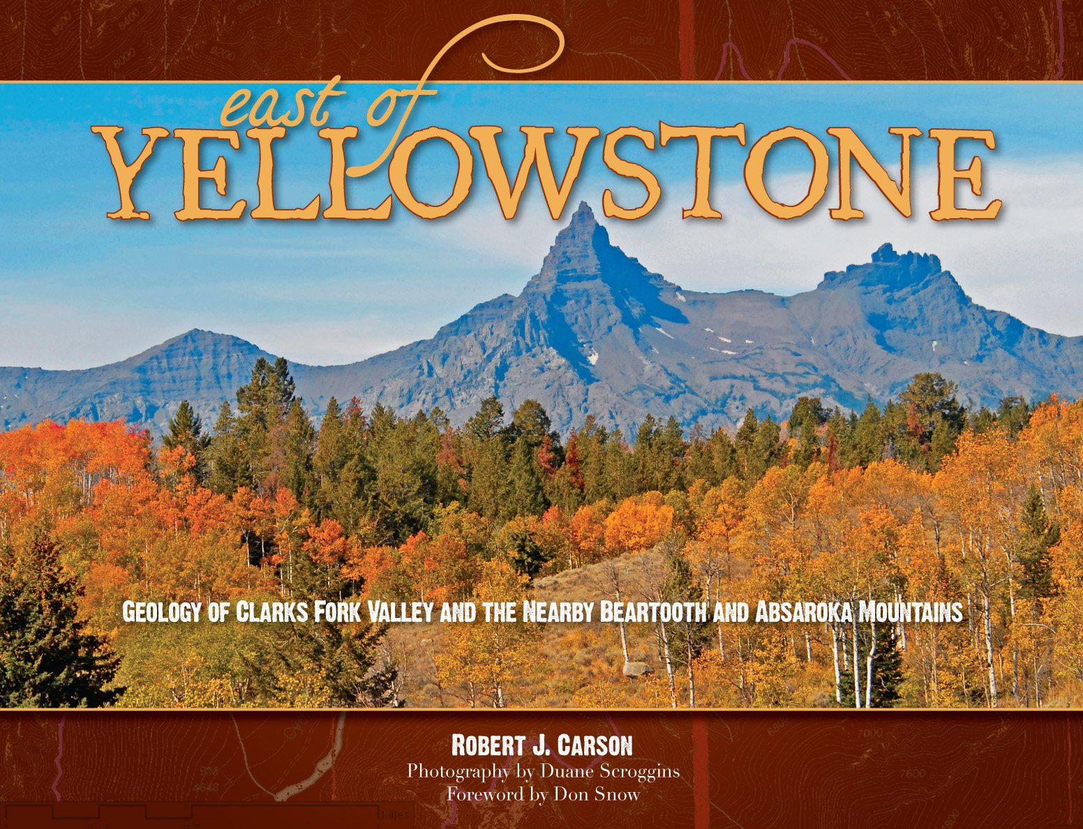
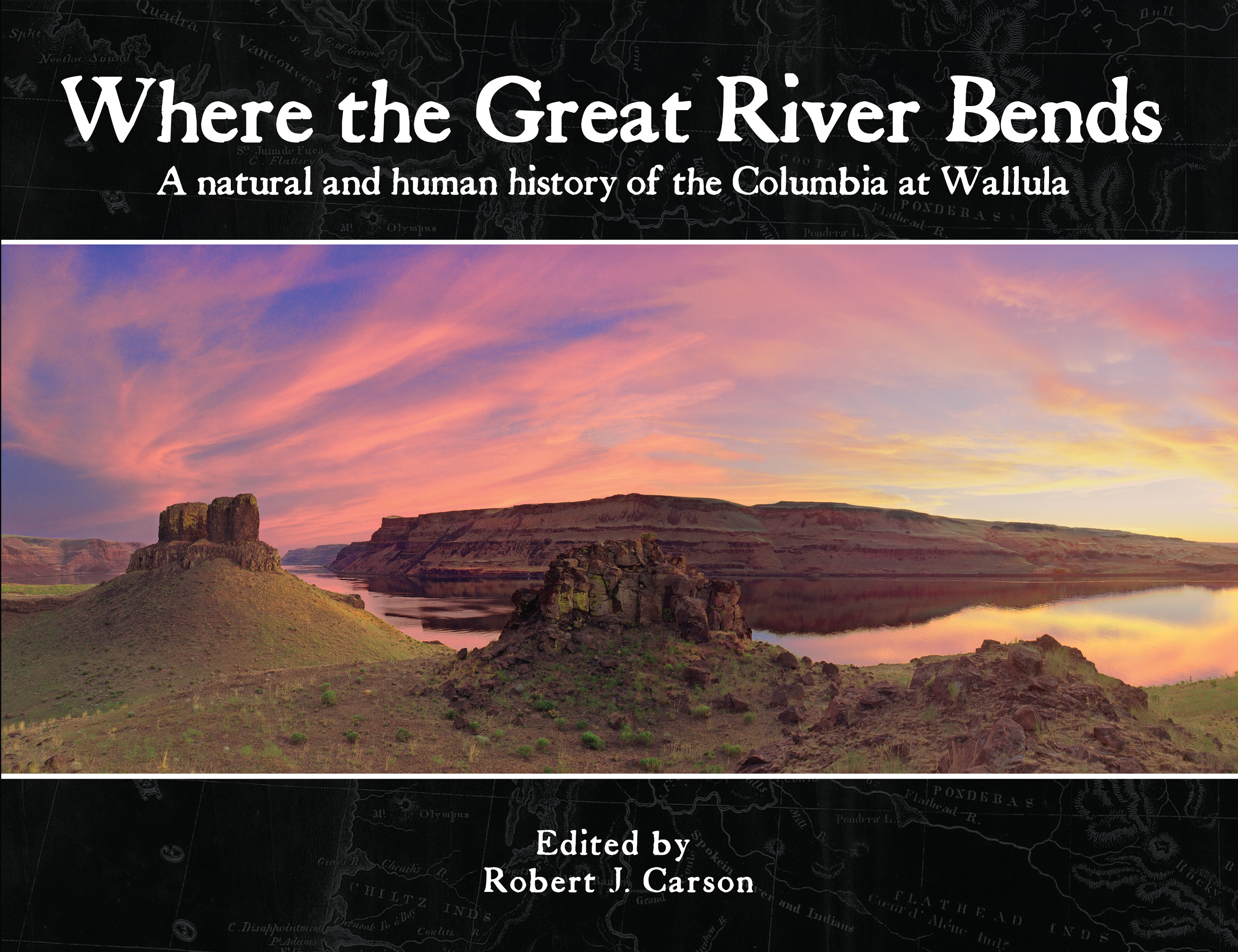
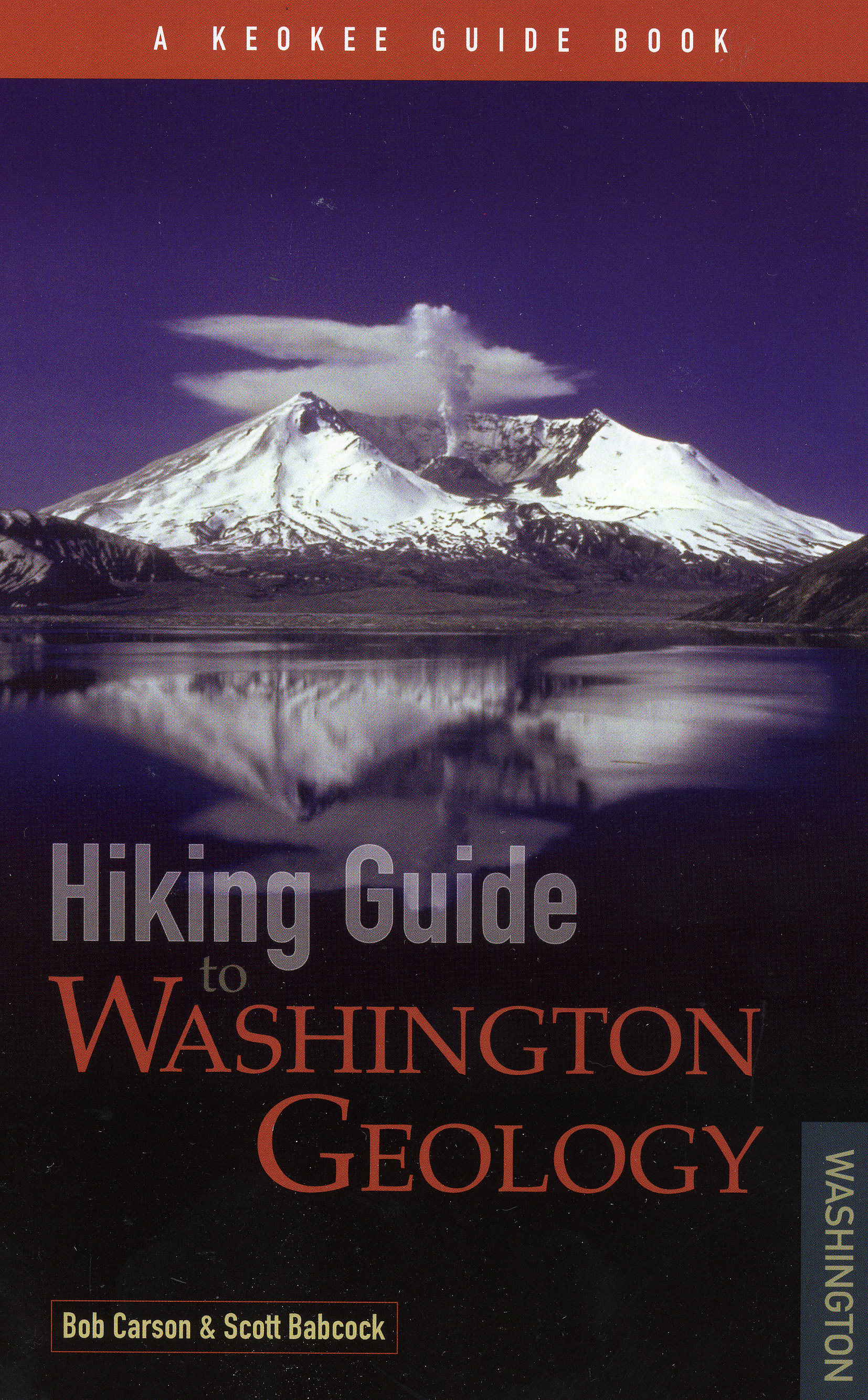
Frankel, K. L., K. W. Wegmann, A. Bayasgalan, R. J. Carson, N. E. Bader, T. Adiya, E. Bolor, C. C. Durfey, J. Otgonkhuu, J. Sprajcar, K. E. Sweeney, R. T. Walker, T. L. Marstellar, and L. Gregory, 2010, Late Pleistocene slip rate of the Höh Serh–Tsagaan Salaa fault system, Mongolian Altai and intracontinental deformation in central Asia: Geophysical Journal International, v. 183, issue 3, p. 1134-1150. Polenz, Michael, J. L. Czajkowski, G. L. Paulin, T. A. Contreras, B. A. Miller, M. E. Martin, T. J. Walsh, R. L. Logan, R. J. Carson, C. N. Johnson, R. H. Skov, S. A. Mahan, and C. R. Cohan, 2010, Geologic map of the Skokomish Valley and Union 7.5-minute quadrangles, Mason County, Washington: Wash. Div. of Geology and Earth Resources Open-File Report 2010-3, scale 1:24,000, with 21 p. text. Contreras, T. A., G. L. Paulin, J. L. Czajkowski, M. Polenz, R. L. Logan, R. J. Carson, S. A. Mahan, T. J. Walsh, C. N. Johnson, and R. H. Skoy, 2010, Geologic map of the Lilliwaup 7.5-minute quadrangle, Mason County, Washington: Wash. Div. of Geology and Earth Resources Open File Report 2010-4, 27.5 x 36 in. color sheet, scale 1:24,000, with 13 p. text. Carson, R.J., 2010, East of Yellowstone: Geology of Clarks Fork Valley and the Nearby Beartooth and Absaroka Mountains: Sandpoint, Idaho, Keokee Books, 166 p. Carson, Bob, and Scott Babcock, 2009, Hiking Guide to Washington Geology: Sandpoint, Idaho, Keokee Books, 272 p. Carson, R.J., ed., 2008, Where the Great River Bends: The Columbia at Wallula: Sandpoint, Idaho, Keokee Co. Publishing, Inc. Walker, R.T., A. Bayasgalan, R. Carson, R. Hazlett, L. McCarthy, J. Mischler, E. Molor, P. Sarantsetseg, L. Smith, B. Tsogtbadrakh, and G. Tsolmon, 2006, Geomorphology and structure of the Jid right-lateral strike-slip fault in the Mongolian Altay mountains: Journal of Structural Geology, v. 28, p. 1607-1622. Carson, R.J., 2001, Where the Rockies meet the Columbia Plateau:
Geologic field trip from the Walla Walla Valley to the Wallowa Mountains,
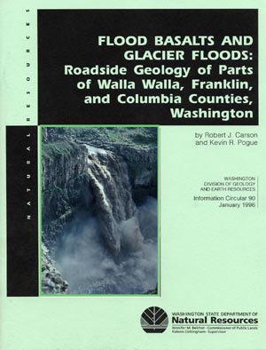
Oregon: Oregon Geology, v. 63, no. 1, p. 13- Crosby, C.J., and R.J. Carson, 1999, Geology of Steamboat Rock, Grand Coulee, Washington: Washington Geology, v. 27, no. 2/3/4, p. 3-8. Carson, R. J., and K. R. Pogue, 1996, Flood basalts and glacier floods: roadside geology of parts of Walla Walla, Franklin, and Columbia Counties, Washington: Washington Division of Geology and Earth Resources Information Circular 90, 47p. Spencer, P. K., and R. J. Carson, 1995, The Enterprise Gravel: the ancestral Wallowa River and neotectonism in northeastern Oregon, Northwest Science, v. 69, no. 1, p. 60-71.
Carson, R. J., and J. L. Sadd, 1991, Land-use planning writing assignment for environmental-geology course: Journal of Geological Education, v. 39, p. 206-213. Carson, R.J., 1988, The natural history of Saddle Mountain, Clatsop County, Oregon: Cumtux (Clatsop County Historical Society Quarterly), v. 8, no. 3, p. 2-14. Easterbrook, D. J., J. L. Roland, R. J. Carson, and N. D. Naeser,
1988, Applications of paleomagnetism, fission-track dating, and
tephra correlation to Lower Pleistocene sediments in the Puget
Lowland, Washington: in D. J. Easterbrook, ed., Dating Quaternary sediments: Geological
Society of America Special Paper 227, p.
139-165. Westgate, J. A., D. J. Easterbrook, N. D. Naeser, R. J. Carson, 1987, Lake Tapps tephra: an early Pleistocene stratigraphic marker in the Puget Lowland, Washington: Quaternary Research, v. 28, p. 340-355. Carson, R. J., T. L. Tolan, and S. P. Reidel, 1987, Geology of the Vantage area, south-central Washington: An introduction to the Miocene flood basalts, Yakima Fold Belt, and the Channeled Scabland: Geological Society of America Centennial Field Guide - Cordilleran Section, p. 357-362. Carson, R. J., 1987, Creation of our scenic wonders (geology of the south coast of Clatsop County, Oregon): Cumtux (Clatsop County Historical Society Quaterly), v. 7, no. 2, p. 2-13. Carson, R. J., 1984, Ground and aerial photography for monitoring and predicting volcanic activity, with emphasis on the 1980 eruption of Mount St. Helens, Washington, in Renewable resources management, applications of remote sensing: Falls Church, Virginia, American Society of Photogrammetry, p. 647-654.
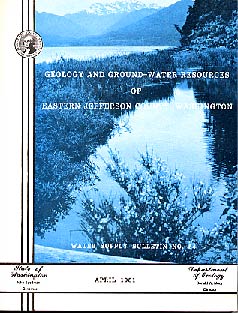
Grimstad, Peder, and R. J. Carson, 1981, Geology and ground-water
resources of eastern Jefferson County, Washington: Washington Department of Ecology Water
Supply Bull. 54, 125 p.
Wilson, J. R., M. J. Bartholomew, and R. J. Carson, 1979, Late Quaternary faults and their relationship to tectonism in the Olympic Peninsula, Washington: Geology, v. 7, p. 235-239. Carson, R. J., C. F. McKhann, and M. H. Pizey, 1978, The Touchet beds of the Walla Walla Valley, in V. R. Baker and Dag Nummedal, eds., The Channeled Scabland, a guide to the geomorphology of the Columbia Basin, Washington: Office of Space Science, N.A.S.A., Washington, D.C., p. 173-177. Smith, Mackey, and R.J. Carson, 1977, Relative slope stability of the southern Hood Canal area, Washington: U.S. Geological Survey Map I-853-F. Carson, R. J., Mackey Smith, and B.L. Foxworthy, 1975, Geologic conditions related to waste-disposal planning in the southern Hood Canal area, Washington: U.S. Geological Survey Map I-853 D. Eddy, Paul, and R.J. Carson, 1973, Geohydrology of the Chehalis River Valley, Elma to Oakville, Grays Harbor County, Washington: Washington Department of Ecology Monograph No. 3. Porter, S.C., and R.J. Carson, 1971, Problems of interpreting radiocarbon dates from dead-ice terrain, with an example from the Puget Lowland of Washington: Quaternary Research, v. 1, p. 410-414. Carson, R.J., 1968, Physical stratigraphy of the post Beekmantown pre Liberty Hall limestones, central Rockbridge County, Virginia: Tulane Studies in Geology, v. 6, no. 2, p. 41-70. Carson, R.J., 1964, Tolley's Cave: Virginia Minerals, v. 10, no. 1, p.1-6. |